File:Klagenfurt Altes Rathaus 03.jpg

Size of this preview: 800 × 532 pixels. Other resolutions: 320 × 213 pixels | 3,008 × 2,000 pixels.
Original file (3,008 × 2,000 pixels, file size: 927 KB, MIME type: image/jpeg)
Summary
| Description |
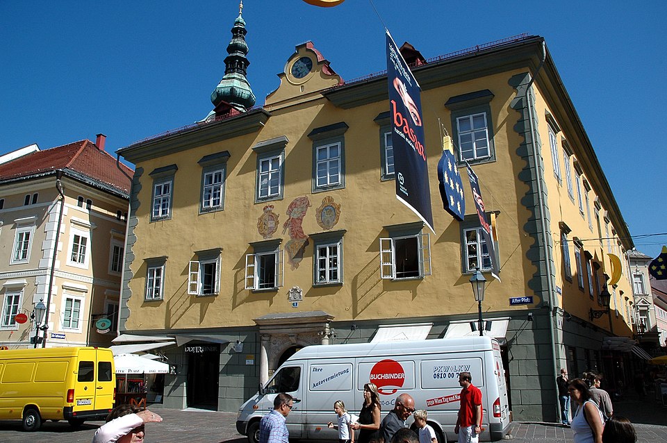
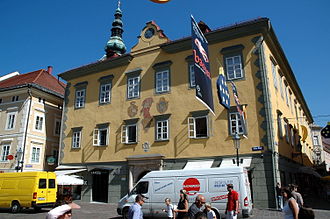
English: Old guildhall on the Alter Platz in the Inner City of Carinthian`s capital Klagenfurt on the Lake Woerth, Carinthia, Austria
Deutsch: Altes Rathaus am Alten Platz in der Inneren Stadt der Landeshauptadt Klagenfurt am Wörther See, Kärnten, Österreich
|
||
| Date | |||
| Source | Own work | ||
| Author | Johann Jaritz | ||
| Permission (Reusing this file) |
I, the copyright holder of this work, hereby publish it under the following licenses:
This file is licensed under the Creative Commons Attribution-Share Alike 3.0 Austria license.
 You may select the license of your choice. |

| Camera location | | View this and other nearby images on: OpenStreetMap |
|---|
File history
Click on a date/time to view the file as it appeared at that time.
| Date/Time | Thumbnail | Dimensions | User | Comment | |
|---|---|---|---|---|---|
| current | 14:06, 20 July 2006 | | 3,008 × 2,000 (927 KB) | Johann Jaritz | {{Information |Description=Old town-hall in Klagenfurt, Klagenfurt |Source=Own photography |Date=July 20th, 2006 |Author=Johann Jaritz |Permission=Johann Jaritz |other_versions=Bild-GFDL }} |
File usage
The following page links to this file:
