File:Delaware regions map.png

Size of this preview: 241 × 598 pixels. Other resolutions: 96 × 240 pixels | 605 × 1,501 pixels.
Original file (605 × 1,501 pixels, file size: 30 KB, MIME type: image/png)
Summary
| Description |
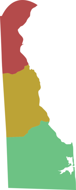
English: Delaware regions map. |
| Date | |
| Source | :Image:Delaware regions map.svg |
| Author | Peter Fitzgerald |
Licensing
| This work has been released into the public domain by its author, User: (WT-shared) Peterfitzgerald at wts wikivoyage. This applies worldwide. In some countries this may not be legally possible; if so: User: (WT-shared) Peterfitzgerald at wts wikivoyage grants anyone the right to use this work for any purpose, without any conditions, unless such conditions are required by law.
|
Original upload log
| This file was imported from Wikivoyage WTS. |
The original description page was here. All following user names refer to wts.wikivoyage-old.
- 2008-03-06 04:40 (WT-shared) Peterfitzgerald archive copy at the Wayback Machine 605×1501 (30926 bytes) {{Imagecredit|credit=Peter Fitzgerald|captureDate=5 March 2008|location=Delaware|source=[[:Image:Delaware regions map.svg]]|caption=Delaware (Import from wikitravel.org/shared)
File history
Click on a date/time to view the file as it appeared at that time.
| Date/Time | Thumbnail | Dimensions | User | Comment | |
|---|---|---|---|---|---|
| current | 20:58, 17 November 2012 | 605 × 1,501 (30 KB) | MGA73bot2 | {{BotMoveToCommons|wts.oldwikivoyage|year={{subst:CURRENTYEAR}}|month={{subst:CURRENTMONTHNAME}}|day={{subst:CURRENTDAY}}}} == {{int:filedesc}} == {{Information |description=Delaware regions map. Everybody's favorite state gets a regions map, Delaware ... |
File usage
The following page links to this file:
