File:Croatia Regions map.png

Size of this preview: 800 × 592 pixels. Other resolutions: 320 × 237 pixels | 2,500 × 1,850 pixels.
Original file (2,500 × 1,850 pixels, file size: 1.33 MB, MIME type: image/png)
Summary
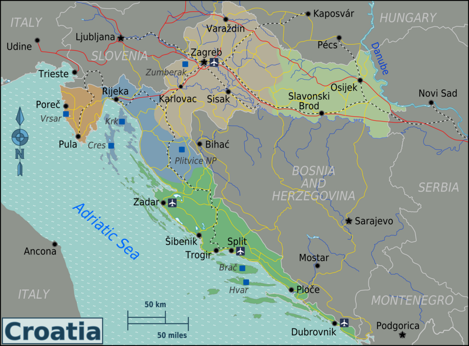
| Description | Map of Croatia for use on Wikivoyage, English version |
| Date | |
| Source | Own work based on the UN Map of Croatia and OpenStreetMap |
| Author | Burmesedays |
| Other versions |
Licensing
This file is licensed under the Creative Commons Attribution-Share Alike 3.0 Unported license.
- You are free:
- to share – to copy, distribute and transmit the work
- to remix – to adapt the work
- Under the following conditions:
- attribution – You must give appropriate credit, provide a link to the license, and indicate if changes were made. You may do so in any reasonable manner, but not in any way that suggests the licensor endorses you or your use.
- share alike – If you remix, transform, or build upon the material, you must distribute your contributions under the same or compatible license as the original.
Original upload log
| This file was imported from Wikivoyage WTS. |
The original description page was here. All following user names refer to wts.wikivoyage-old.
- 2010-04-16 08:46 (WT-shared) Burmesedays[dead link] 2500×1850 (1386921 bytes) == Summary == {{Imagecredit|credit=[[user:burmesedays]], [http://www.un.org/Depts/Cartographic/map/profile/croatia.pdf UN Map of Croatia], [ (Import from wikitravel.org/shared)
- 2010-04-16 09:10 (WT-shared) Burmesedays[dead link] 2500×1850 (1385400 bytes) (Import from wikitravel.org/shared)
- 2010-04-17 15:37 (WT-shared) Burmesedays[dead link] 2500×1850 (1385543 bytes) put a patch over the cock-up with the Hungarian border (Import from wikitravel.org/shared)
- 2010-04-18 14:34 (WT-shared) Burmesedays[dead link] 2500×1850 (1371338 bytes) Serbia and (not) Montenegro (Import from wikitravel.org/shared)
- 2010-04-21 14:29 (WT-shared) Burmesedays[dead link] 2500×1850 (1381618 bytes) (Import from wikitravel.org/shared)
- 2010-04-21 14:37 (WT-shared) Burmesedays[dead link] 2500×1850 (1387418 bytes) added Zumberak (Import from wikitravel.org/shared)
- 2010-04-21 15:56 (WT-shared) Burmesedays[dead link] 2500×1850 (1396793 bytes) (Import from wikitravel.org/shared)
File history
Click on a date/time to view the file as it appeared at that time.
| Date/Time | Thumbnail | Dimensions | User | Comment | |
|---|---|---|---|---|---|
| current | 19:23, 21 April 2013 | | 2,500 × 1,850 (1.33 MB) | Voll | NP Plitvice geo fixed |
File usage
The following page links to this file:
