File:Eswatini Regions map.png

Size of this preview: 524 × 600 pixels. Other resolutions: 210 × 240 pixels | 2,000 × 2,289 pixels.
Original file (2,000 × 2,289 pixels, file size: 13.12 MB, MIME type: image/png)
Summary
| Description |
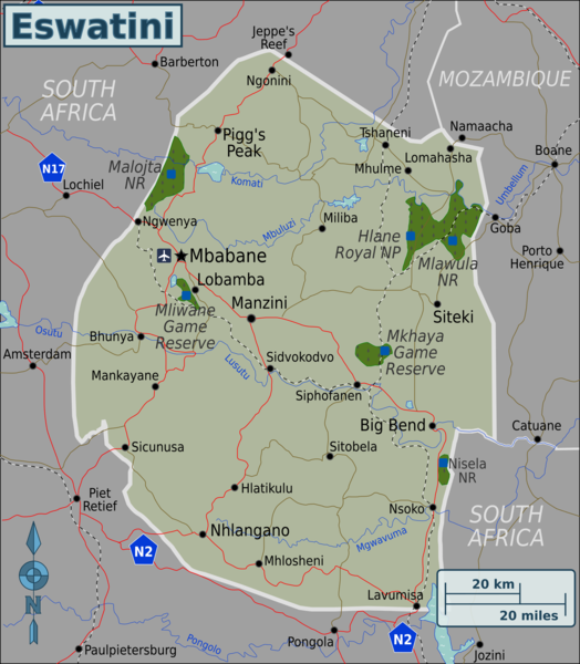
English: Map of Eswatini with regions colour coded. Map of Eswatini, Eswatini |
| Date | |
| Source | :image:Eswatini Regions map.svg |
| Author | User:(WT-shared) Burmesedays, Perry-Castañeda Library Map Collection Swaziland Maps |
Licensing
This file is licensed under the Creative Commons Attribution-Share Alike 3.0 Unported license.
- You are free:
- to share – to copy, distribute and transmit the work
- to remix – to adapt the work
- Under the following conditions:
- attribution – You must give appropriate credit, provide a link to the license, and indicate if changes were made. You may do so in any reasonable manner, but not in any way that suggests the licensor endorses you or your use.
- share alike – If you remix, transform, or build upon the material, you must distribute your contributions under the same or compatible license as the original.
Original upload log
| This file was imported from Wikivoyage WTS. |
The original description page was here. All following user names refer to wts.wikivoyage-old.
- 2010-03-07 09:32 (WT-shared) Burmesedays[dead link] 2486×2941 (1670211 bytes) {{Imagecredit|credit=[[User:Burmesedays]], [http://lib.utexas.edu/maps/swaziland.html Perry-Castañeda Library Map Collection Swaziland Maps (Import from wikitravel.org/shared)
- 2010-03-07 13:25 (WT-shared) Burmesedays[dead link] 2486×2941 (1685930 bytes) added SA route shields (Import from wikitravel.org/shared)
- 2010-03-08 03:40 (WT-shared) Burmesedays[dead link] 2486×2941 (1645332 bytes) with regions turned off as per talk (Import from wikitravel.org/shared)
- 2010-03-08 04:10 (WT-shared) Burmesedays[dead link] 2486×2941 (1645355 bytes) (Import from wikitravel.org/shared)
File history
Click on a date/time to view the file as it appeared at that time.
| Date/Time | Thumbnail | Dimensions | User | Comment | |
|---|---|---|---|---|---|
| current | 05:34, 9 August 2020 | | 2,000 × 2,289 (13.12 MB) | Bestoernesto | Moved the International Airport to the right place |
File usage
The following page links to this file:
